Africa - UC Berkeley GeoData
- Description:
-
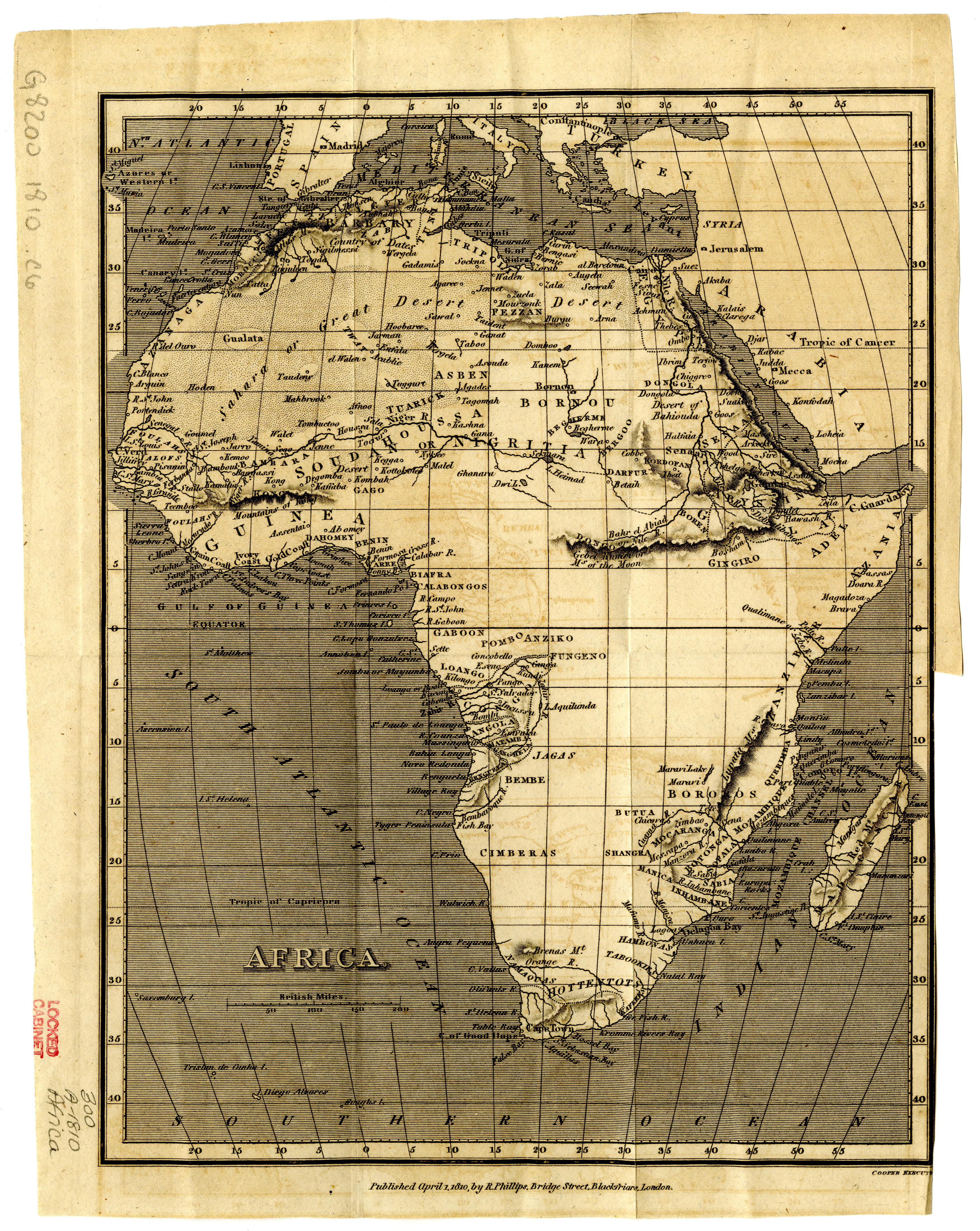
Relief shown by hachures. "Published April 1, 1810, by R. Phillips, Bridge Street, Blackfriars, London." Shows place names and names of regions/kingdoms. Some boundary lines are shown in coastal areas.: Original version published London: R. Phillips, 1810. Scale approximately 1:7,600,000
- Creator:
- Cooper
- Provider:
- Michigan State University
- Resource Class:
- Maps
- Temporal Coverage:
- 1810
- Spatial Coverage:
- Africa
- Access Rights:
- Public
- Format:
- JPEG
- More details at:
- https://lib.msu.edu/branches/map/MSU-Scanned/Africa/300-A-1810Phillips/